|
|
|
|
|
|
 |
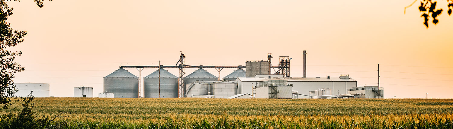
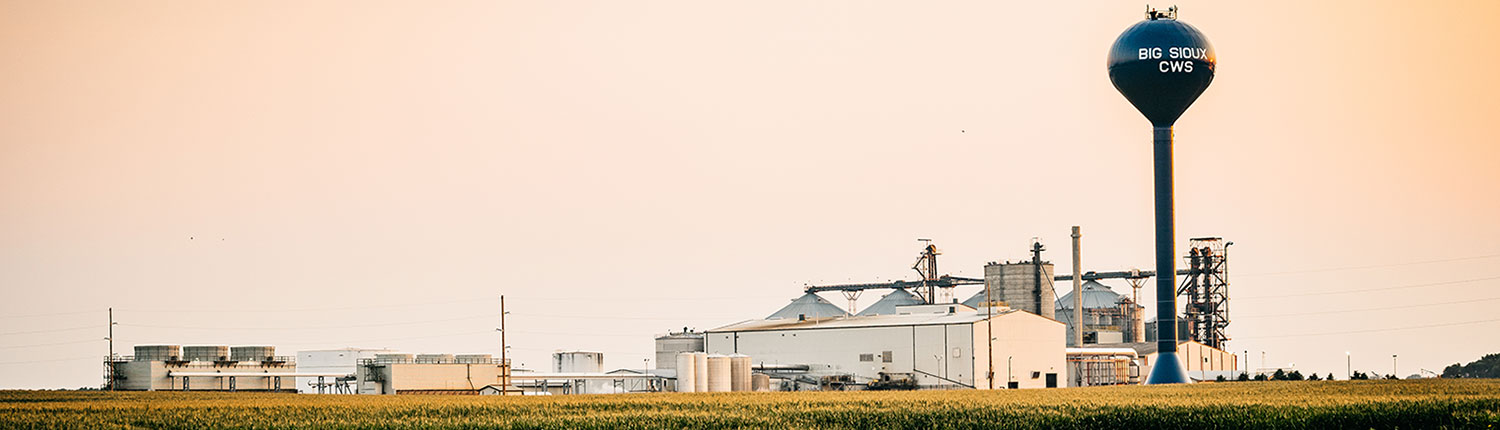
County Forecast for Wentworth , SD |
|
|
| | 071700-
Lake-
Including the cities of Madison and Orland
409 AM CDT Tue Jul 7 2026
Today Mostly sunny. Highs in the lower 90s. Southeast winds 10 to 15 mph.
Tonight Partly cloudy in the evening, then mostly cloudy with a chance of showers and thunderstorms after midnight. Humid with lows in the lower 70s. South winds 15 to 20 mph. Chance of rain 50 percent.
Wednesday Mostly sunny. A chance of showers and thunderstorms in the morning. Humid with highs in the mid 80s. South winds 10 to 15 mph, becoming northwest in the afternoon. Chance of rain 50 percent.
Wednesday night Mostly cloudy. A chance of showers with a slight chance of thunderstorms in the evening. Humid with lows in the lower 60s. Northeast winds 5 to 10 mph. Chance of rain 50 percent.
Thursday Partly sunny. Highs in the lower 80s. Northeast winds 5 to 10 mph.
Thursday night Partly cloudy in the evening, then becoming mostly cloudy. Lows in the lower 60s.
Friday Mostly sunny. Highs in the upper 80s.
Friday night Mostly clear. Lows in the mid 60s.
Saturday Sunny. Highs around 90.
Saturday night Mostly clear. Lows in the upper 60s.
Sunday Sunny, hot with highs in the mid 90s.
Sunday night Mostly clear. Lows in the lower 70s.
Monday Sunny, breezy, hot with highs in the upper 90s. |
|
|
|
Click here to get your local weather emailed to you each day.
|
|